
Plot For Sale In Kanakapura Road -Bangalore
Plot For Sale In Kanakapura Road -Bangalore LOCATION Kanakapura Road…
For Sale
₹1.6 cr
Real Estate Agents in Bangalore
Real Estate Agents in Bangalore

Gundlupet, Gundlupet taluk, Chamarajanagar district, Karnataka, 571111, India
For Sale
₹9.5 cr
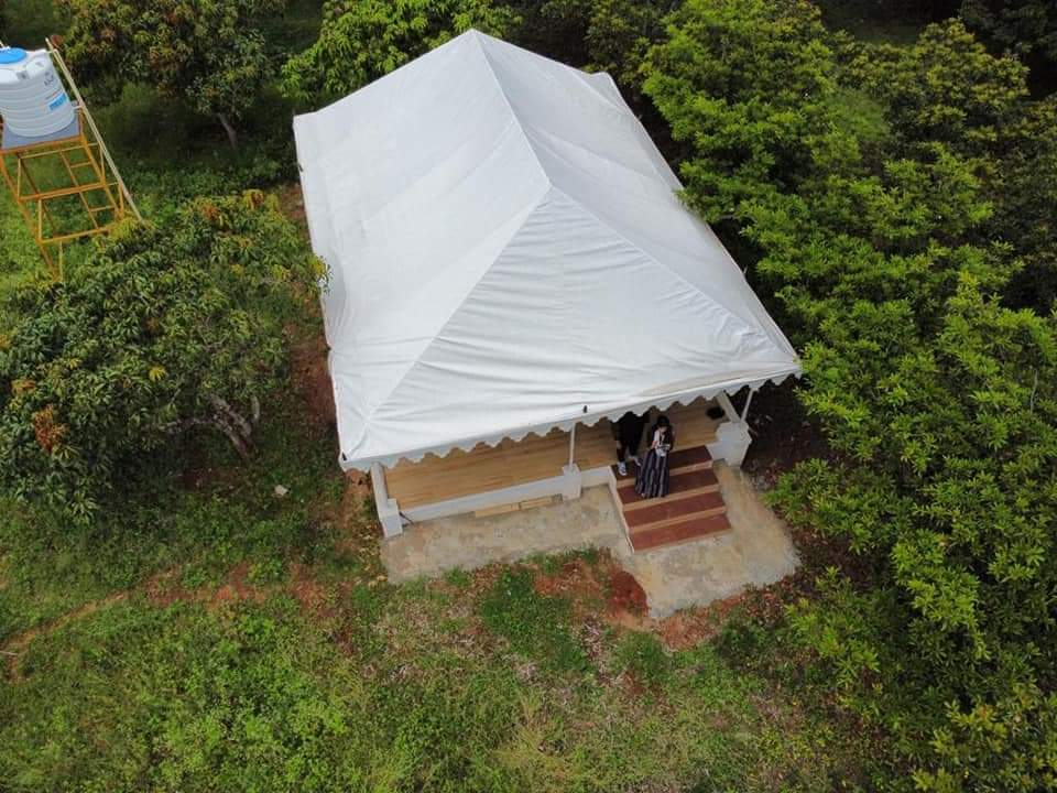
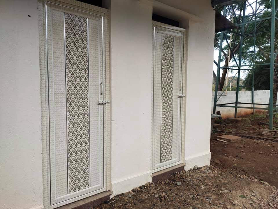
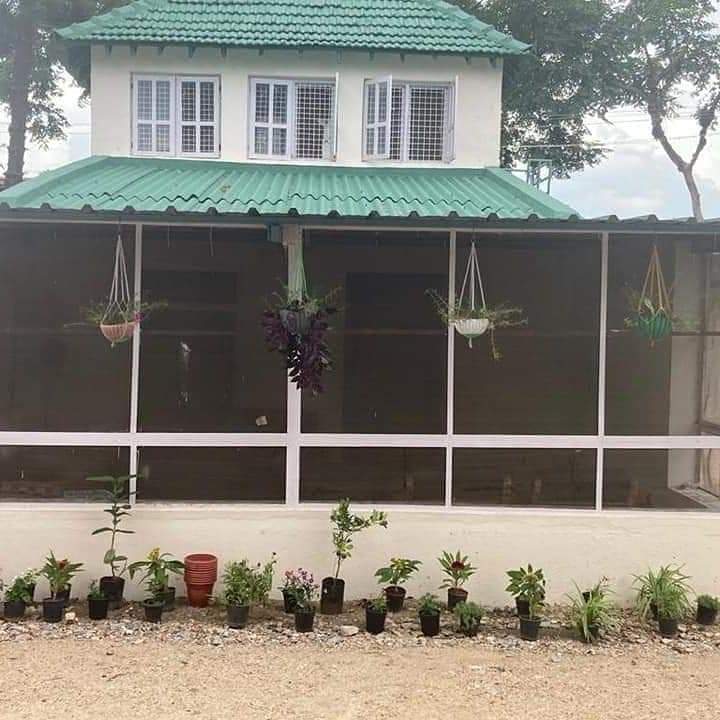
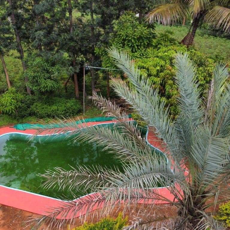
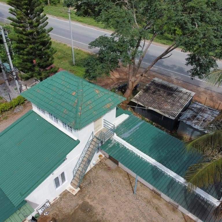
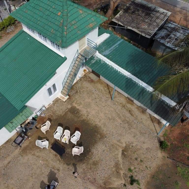
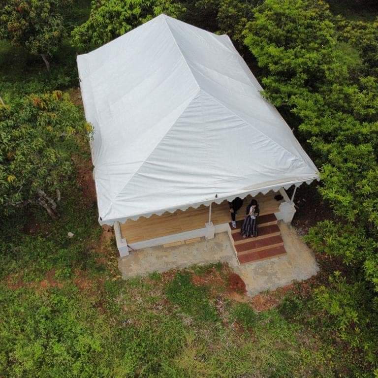


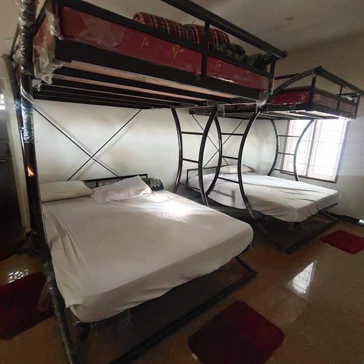
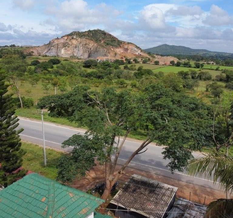
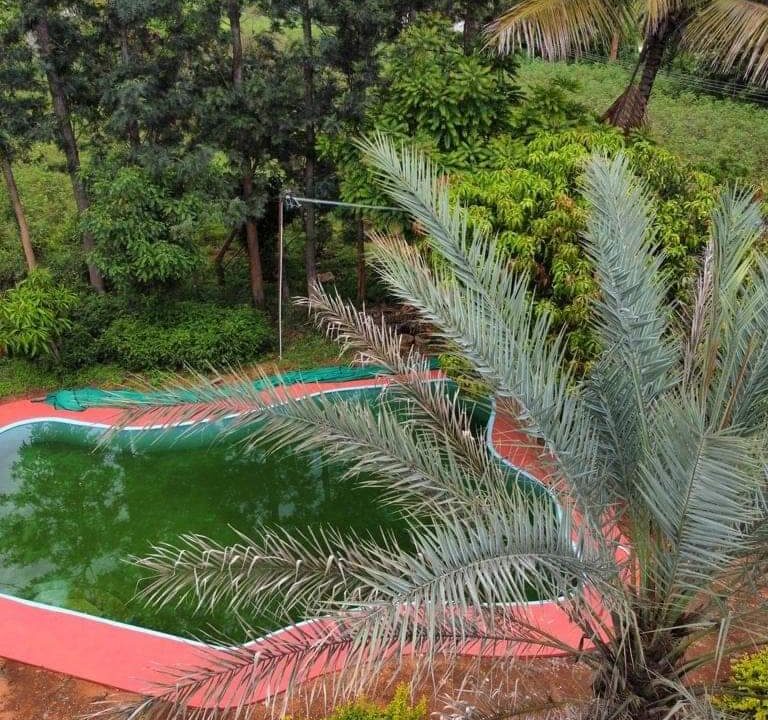
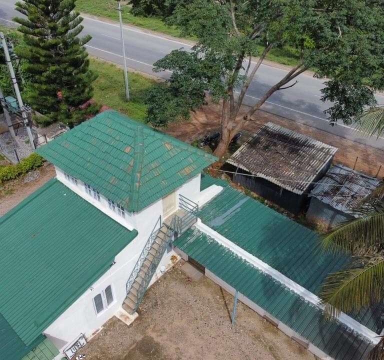
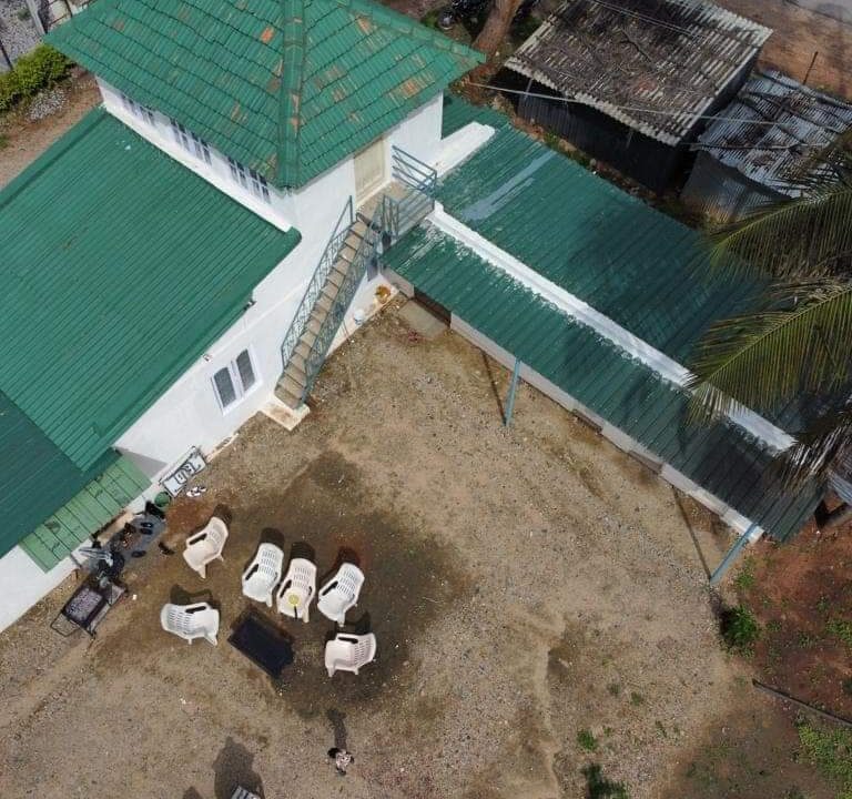
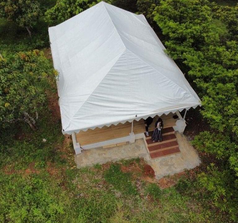
Farm House for sale in Gundlupet
Farm House for sale in Gundlupet
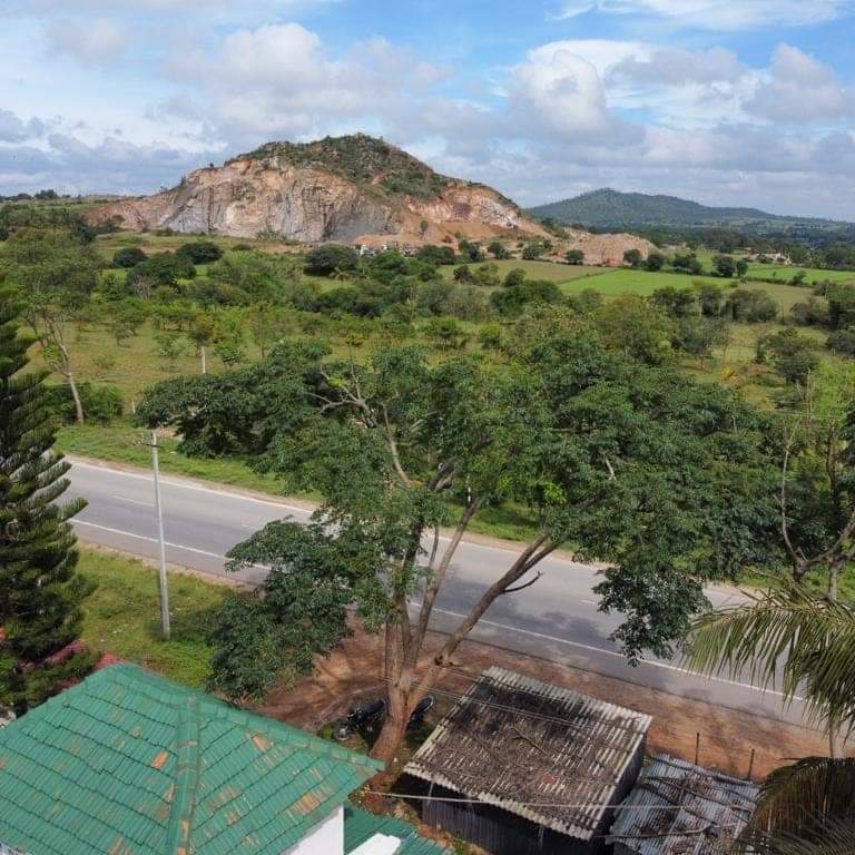
Gundlupet is the last town in Karnataka on the National Highway 766 which goes through Mysore, Ooty, Wayanad, and Calicut. It is situated very close to the Tamil Nadu and Kerala state borders. NH 181 begins from Gundlupet and ends in Nagapattinam in Tamil Nadu via Ooty and Coimbatore.
Urban/Rural Population – Gundlupet Taluka
There are about 158 villages in gundlupet taluka, which you can browse from gundlupet taluka villages list (along with gram panchayat & nearest town information) below.
Thus around 12.6% of total population of Gundlupet Taluka lives in Urban areas while 87.4% lives in Rural areas.
Gundlupet is in Chamarajanagar district in Karnataka region.
Chamarajanagar is the southernmost district in the state of Karnataka india.It was carved out of the original larger mysore district in the year 1997. chamarajanagar town is the headquarters of this district.
Gundlupet also known as Land of Tigers (Gundlupētē in Kannada) is a municipal town situated in the Chamarajanagar district of Karnataka, India. It is also known as “The flower pot of India“. It is situated 60 km away from NH 766 and approximately 200 km from the state administrative capital, Bangalore. Gundlupet is the last town in Karnataka on the National Highway 766 which goes through Mysore, Ooty, Wayanad, and Calicut. It is situated very close to the Tamil Nadu and Kerala state borders. NH 181 begins from Gundlupet and ends in Nagapattinam in Tamil Nadu via Ooty and Coimbatore.[1]
The Bandipur National Park is situated 17 km away from Gundlupet. Gundlupet was previously known as Vijayapura, named after the ancient Vijayanarayana Temple.[cit
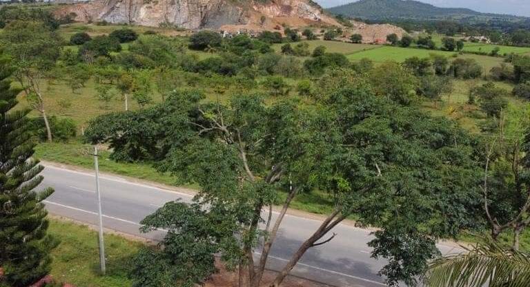
Plot For Sale In Kanakapura Road -Bangalore LOCATION Kanakapura Road…
₹1.6 cr
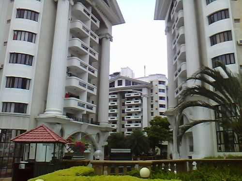
3 BHK Resale Flat In Prestige Acropolis – Koramangala Bangalore…
₹4.3 Cr